Using the Lake Superior Circle Route Travel Planner
The Lake Superior Travel Planner is a supplement to our SuperiorTrails.com website. The regular pages of our website offer photos and more extended descriptions of the various attractions we’ve discovered in our numerous travels around Big Gitchee Gumme. While we know people appreciate the detail on all the attractions, the regular website tends to obscure how much time it might take to complete a reasonable trip around the lake. Thus the travel planner was born.
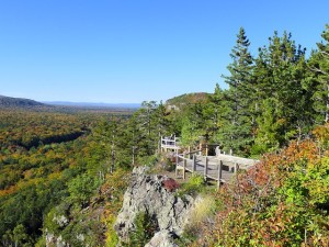
View from a Scenic Lookout at Porcupine Mountains State Park in Michigan’s Upper Peninsula
The Planner is a more condensed version of the regular website pages and organized so that one page makes a reasonable day’s journey with time included for exploring attractions along the way.
There are twelve pages in all, suggesting that 12 days of travel would be ideal to cover the entire circle route and take time to experience each region and some of its most attractive features. Most people, however, will not take such a leisurely and concentrated tour and I suspect will be able to find ways to cut that in half to six days
The travel planner pages are organized in two sections, depending on your direction of travel.
- Go Here for a clockwise travel around the lake, OR
- Go Here for a counter-clockwise travel route around Lake Superior.

Clicking on the “Map” button on each page will bring up a map of the current page you are on with mileage figures. Here is the Master Map Directory with mileage data

